How Will a Vulnerability Study Help Protect Our Coast?
Published on July 23, 2024

By Michelle Monteclaro
Stormwater Program Coordinator
What is a Vulnerability Assessment?
A vulnerability assessment takes a look at existing infrastructure to see what effects certain hazards may pose to the people, property, environment, and economy of a community. In Dunedin’s vulnerability assessment, we will be focusing on flooding Impacts from storm surge, tidal flooding, rainfall, and sea level rise. The questions we’re asking are:
1) How likely is flooding and how severe will that flooding be?
2) What is going to happen to our community as a result of that flooding?
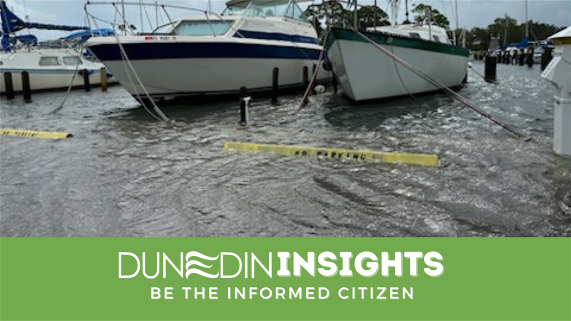
Being a coastal community, Dunedin is particularly susceptible to sea level rise. A higher sea level not only effects the coast, but it also raises the groundwater level. An increase in ground water levels leads to a decrease in absorption capacity of the ground and increases runoff and flooding.

Figure 1: Roadmap for creating an Adaptation Plan. Source: Florida Adaptation Planning Guidebook, 2018.
Vulnerability Assessment Process
How do we work together as a city to successfully perform a Vulnerability Assessment?
Assemble and Conduct Steering Committee to
Public Outreach Workshop
-
August 22, 2024 will be the first public workshop. It will be focused on the project’s methodologies and provide a general overview
-
The second workshop will be held in early Spring of 2025 and will focus on identifying critical assets that are important to their community
Interdepartmental Collaboration
 Exposure Analysis
Sensitivity Analysis
Critical Focus Areas
What is an Adaptation Plan?
An adaptation plan is the actionable response(s) to the results of a vulnerability assessment. Once we empirically understand Dunedin’s vulnerabilities we can become proactive in implementing changes to protect our coastline from:
-
Sea level rise
-
Storm surges
-
Tidal flooding
-
Rainfall flooding
Adaptation Plan Process
Assess Adaptive Capacities
Prioritize Adaptation Needs
Identify and implement Adaptation Strategies

Figure 2: Types of Adaptation Strategies. Source: Florida Adaptation Planning Guidebook, 2018
Important Announcements Regarding the Vulnerability Assessment
Public Workshop- Protecting Our Coast Facing Flood Risks Together
We will be holding our first public meeting August 22nd at 6 p.m. in the City Commission Chambers. This meeting will discuss the methodologies of the project and provide an overview giving the public a chance to share their input and ask questions about the project.

Sources: